If you’ve ever checked the weather just to see it’s going to be a dreary, rainy day, you may have seen nimbostratus clouds.
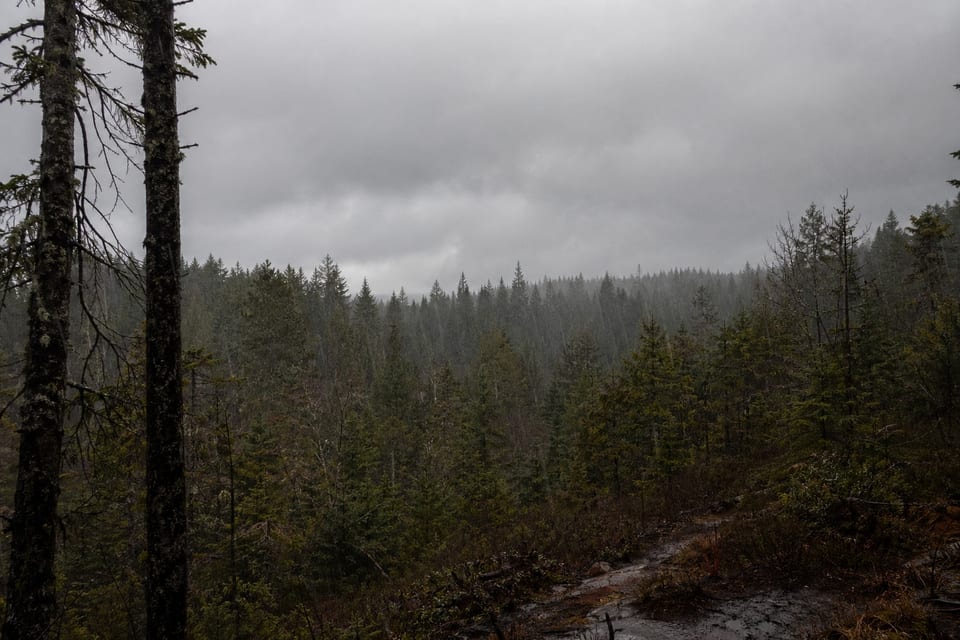
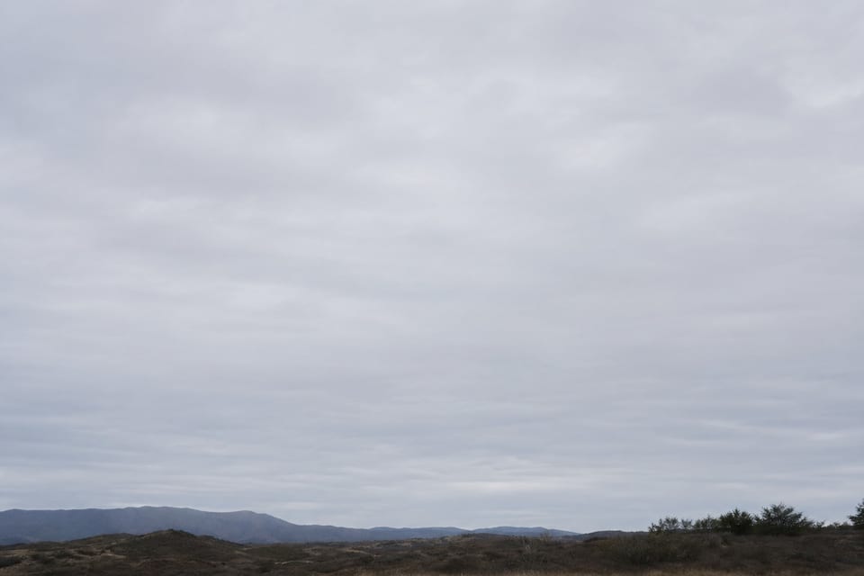
Nimbostratus clouds are gray clouds that cover most of the sky. They block out the sun and often signal continuous rain or precipitation.
Nimbostratus clouds don’t have a unique shape or special features. They cover the sky like a flat blanket of gray. In this guide, we’ll tell you all about what nimbostratus clouds are, what they look like, and when they appear.
You May Also Like: Lenticular Clouds: Why Are They Shaped Like UFOs?
What Are Nimbostratus Clouds?
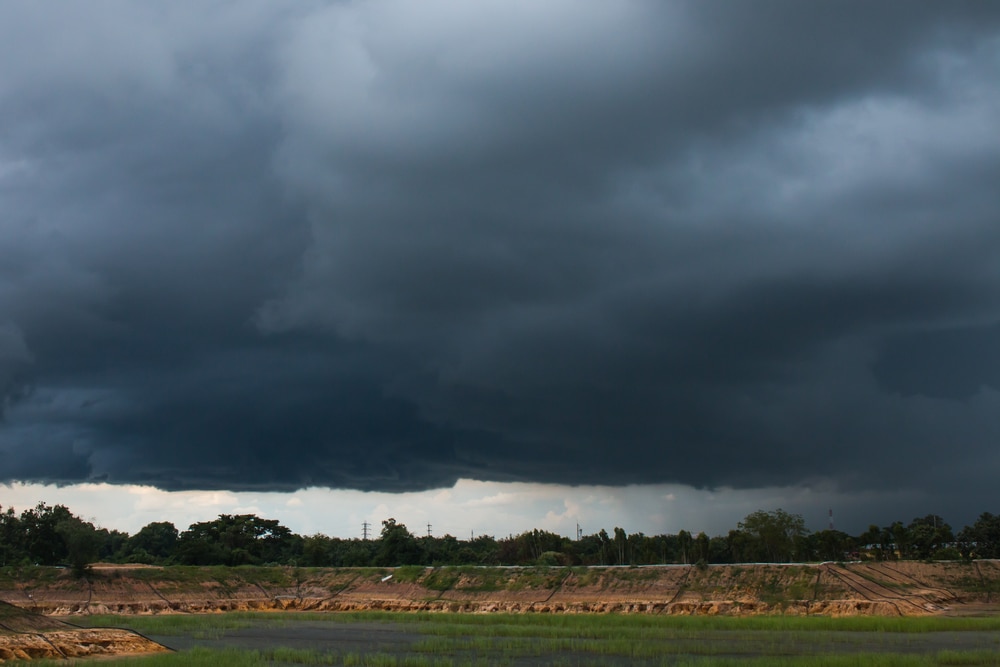
Nimbostratus clouds are dense, featureless clouds associated with continuous precipitation. These clouds may be present in any season. Nimbus stands for rainy cloud and stratus means bed or to spread out.
Unlike most clouds, nimbostratus clouds don’t have specific cloud varieties. But they’re a part of the 10 main types of clouds.
They can also be associated with virga clouds. Virga is the visible streaks of precipitation falling from a cloud that evaporate before it reaches the ground.
Some nimbostratus clouds have smaller cloud fragments beneath them. These small cloud fragments are called scud. The fragments form as a result of recondensation from moisture in the air.
Nimbostratus clouds are mostly made up of liquid water droplets and ice crystals.
What Do Nimbostratus Clouds Look Like?
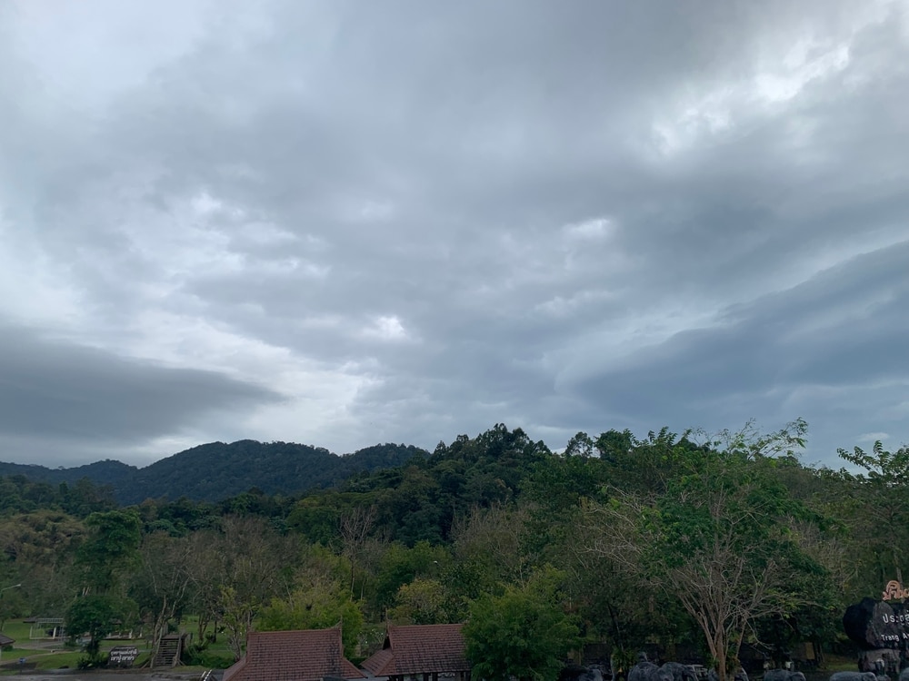
Nimbostratus clouds usually cover the sky of an entire area. They’re gray clouds dense enough to prevent sunlight from passing through. They shouldn’t be confused with cumulonimbus clouds, which are dark, puffy clouds that bring in thunderstorms.
Nimbostratus clouds aren’t a sign of thunderstorms. These clouds also aren’t as tall as cumulonimbus clouds. Cumulonimbus clouds can stretch through all levels of the troposphere.
Nimbostratus clouds are classified as low to mid-level clouds that form horizontally. This is why they look like a blanket fully covering the sky. Low-level clouds form below 6,500 ft (1,981 m).
The base of a nimbostratus cloud usually forms in the low-level cloud area of the troposphere.
Nimbostratus clouds can also be considered mid-level clouds. The top half of nimbostratus clouds is usually higher than 6,500 ft. Mid-level clouds form between 6,500 and 20,000 ft (1,981-6,096 m).
Where Can You Find Nimbostratus Clouds?
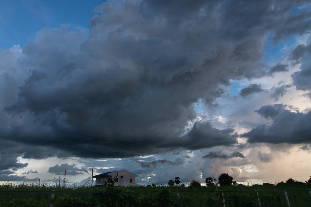
Nimbostratus clouds can form in tropical and temperate climates. They’re not very common in places that don’t receive a lot of precipitation.
They can form in polar regions. These clouds commonly appear in the low-level area of the troposphere in polar regions.
In temperate regions, they form in the middle layer of the troposphere. They also form in the middle layer in tropical regions. The upper part of nimbostratus clouds may go above the middle layer and reach as high as 25,000 ft (7,620 m) in tropical regions.
What Causes Nimbostratus Clouds to Form?
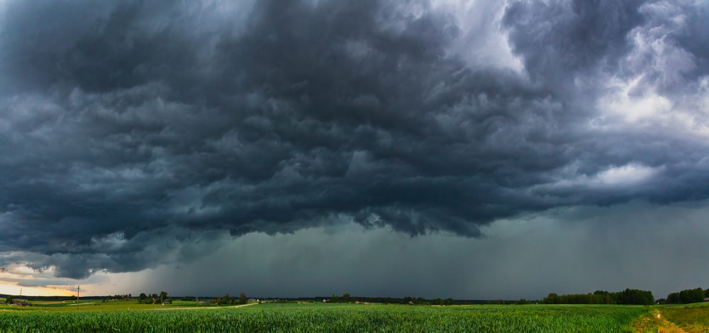
Nimbostratus clouds can form in several different types of weather. They can form from organized storms, frontal cloud systems, and tropical cyclones.
Layers of nimbostratus clouds can develop from moist air rising in a depression. This may happen as a warm front is approaching.
Nimbostratus clouds can form as altostratus cloud layers thicken and form a lower base. Dissipating nimbostratus clouds are a sign that a cold front is passing.
A convective system includes several parts of a thunderstorm that become organized. This system can bring continuous precipitation and coverage for hours. Nimbostratus clouds may appear in surrounding areas of a convective system.

Many types of clouds are created by frontal cloud systems. These fronts occur when warm and cold air meet at the Earth’s surface.
A warm front occurs when the warm air passes over the cold air. Warm fronts create nimbostratus clouds. They also produce cirrus, cirrostratus, and altostratus clouds.
Nimbostratus clouds can also be created by cold fronts. This type of frontal system occurs when cold air pushes warm air upward and replaces it at the Earth’s surface.
Cold fronts are also associated with cumulonimbus, stratocumulus, and stratus clouds.
Cumulonimbus clouds and convective systems are associated with tropical cyclone storms. But cyclones also produce other types of clouds.
Nimbostratus and stratiform clouds can appear in cyclone storms. Their formation is caused by the convective system present in cyclones.
What Kind of Weather is Associated With Nimbostratus Clouds?
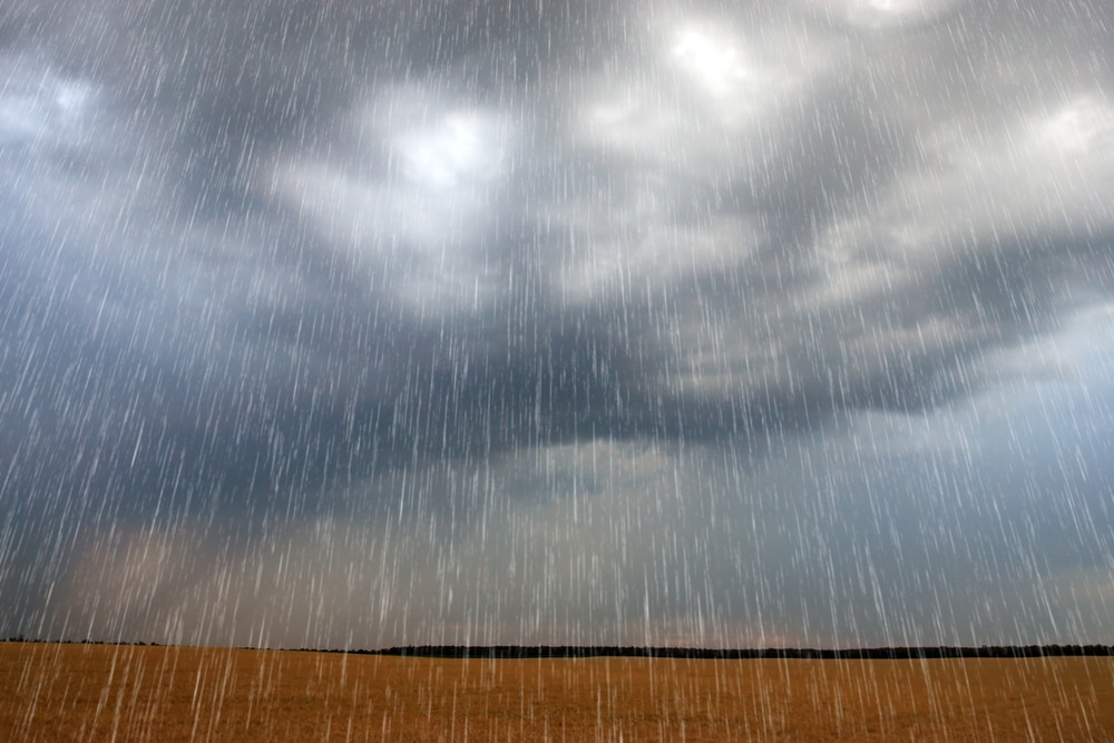
Nimbostratus is associated with continuous precipitation. If you notice a blanket of gray clouds covering the sky, it’s a good indication that it’ll rain or snow for several hours.
Nimbostratus clouds can form in cold and warm weather. They’re common in areas that experience frequent and steady precipitation. Although cold fronts can produce these clouds, they’re more common with warm fronts.
If thunder and lightning or hail is present, the clouds aren’t nimbostratus. Cumulonimbus clouds produce hail, thunder, and lightning.
In the winter, nimbostratus clouds can produce continuous snow. But intense snowfall and blizzard-like conditions are associated with cumulonimbus clouds.
You May Also Like: What Is An Avalanche? Know The Conditions, Causes & Dangers
Difference Between Cumulonimbus and Nimbostratus Clouds
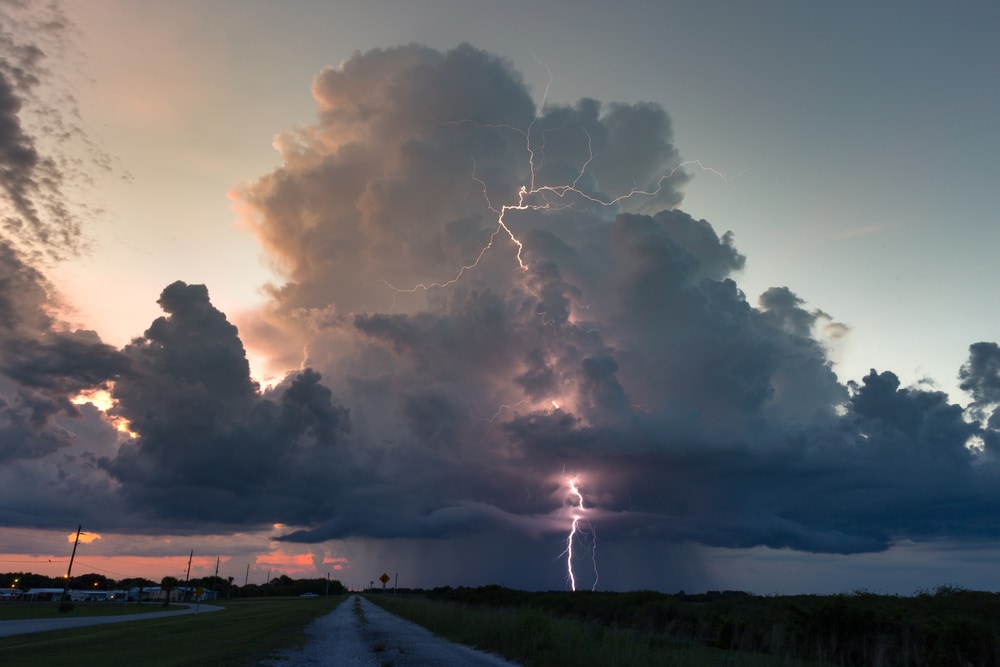
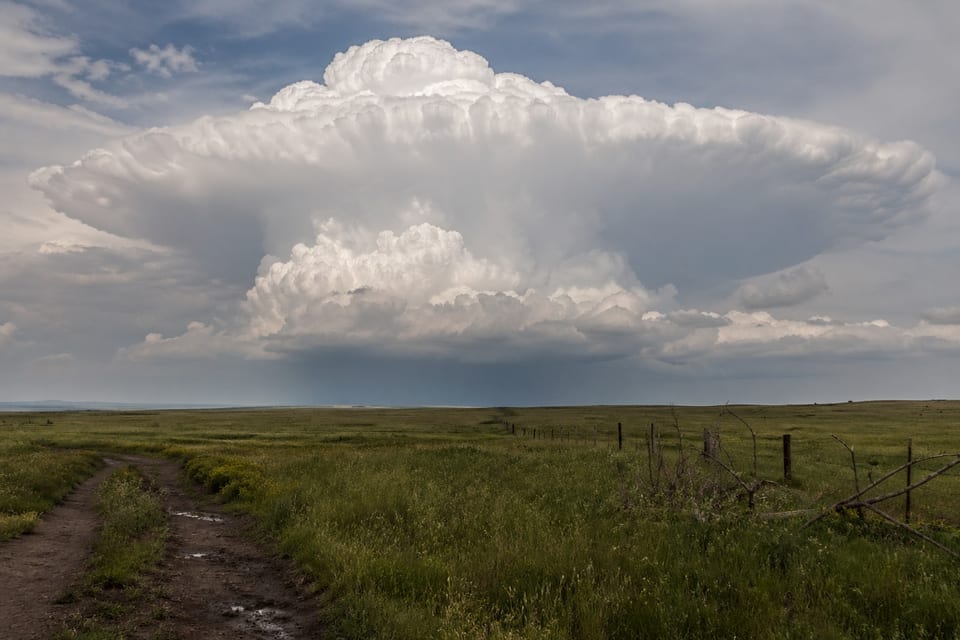
Cumulonimbus clouds are the giant dark gray clouds you see towering in the sky as a thunderstorm approaches.
These clouds form vertically, rather than horizontally. They have several layers that extend through each troposphere level.
Cumulonimbus clouds produce heavy precipitation in the form of hail, rain, or thundersnow. Lightning, thunder, and hail are only produced with cumulonimbus clouds.
Thunderstorms rarely last longer than an hour. The average time a thunderstorm lasts is 30 minutes. Precipitation from nimbostratus clouds, however, can last for several hours.
Nimbostratus clouds are featureless. They don’t have any unique structures or formations. Cumulonimbus clouds have several features, such as the wall cloud, overshooting top, and anvil.
Cumulonimbus clouds are associated with several types of storms, including supercell, multi-cell, and squall line. Nimbostratus clouds are only associated with steady rain or snow.
Difference Between Nimbostratus and Stratus Clouds
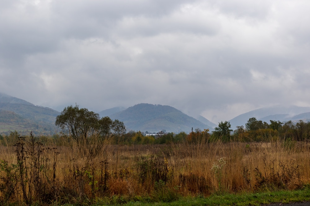
Stratus and nimbostratus clouds have similar appearances and both form horizontally. Stratus clouds are also featureless and cover the sky like a blanket. They can be white or gray.
Stratus clouds only form in the lower level of the troposphere. These clouds are responsible for creating mist and fog.
The biggest difference between stratus and nimbostratus clouds is stratus clouds don’t produce persistent precipitation. They may produce some light rain or snow if they develop enough thickness. However, these clouds are relatively thin.
Stratus clouds block some sun from shining through, but they’re usually not thick enough to completely block out all the rays.
Unlike nimbostratus, stratus clouds have two different species. These species include stratus nebulosus and stratus fractus.
Stratus nebulosus are most similar to nimbostratus clouds. This species has a darker appearance that can produce light rain. Stratus fractus are stratus layers breaking up.
You May Also Like: Cirrocumulus Clouds: What Are They And How Do They Form?
Nimbostratus FAQs
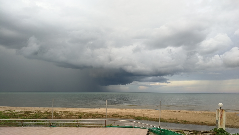
Do nimbostratus clouds create lightning?
No, nimbostratus clouds don’t create lightning. Thunder and lightning occurs in cumulonimbus clouds where positive and negative charges create a strong static electrical charge.
The static electrical charge is created by droplets and ice crystals colliding in the cloud. This process doesn’t occur in nimbostratus clouds.
Is it safe to fly in nimbostratus clouds?
Pilots generally avoid flying through nimbostratus clouds because of reduced visibility. Nimbostratus clouds are very dense. It can be difficult to see when flying through these clouds.
Planes may also experience moderate turbulence if they fly through nimbostratus clouds. Although moderate turbulence isn’t too dangerous, it can cause a bumpy plane ride.
What causes clouds to turn gray?
Clouds are white because the color of light from the sun is white. The white light scatters as it hits the ice crystals or water droplets in a cloud.
When light is unable to reach the base of a cloud, it causes the cloud to look gray.
The top part of a cloud that we can’t see is always white since it has more direct access to sunlight. However, the density of a cloud can prevent the sunlight from reaching the base of a cloud if it’s thick enough.
How does fog form?
There are two main types of fog: evaporation or mixing fog and hail fog. Evaporation fog can be steam fog or frontal fog. Steam fog forms when cold and warm air mix together. The cold air cools down the warm, moist air and creates humidity.
Frontal fog is common after a warm rain. The warm raindrops begin to evaporate. If they mix with cool air as they evaporate, it creates humidity and results in fog.
Hail fog is less common than evaporation fog. It appears after a hailstorm. The cold hail mixes with warm, moist air. The hailstones cool down the warm air at the Earth’s surface, which produces fog.
What is the most dangerous type of cloud?
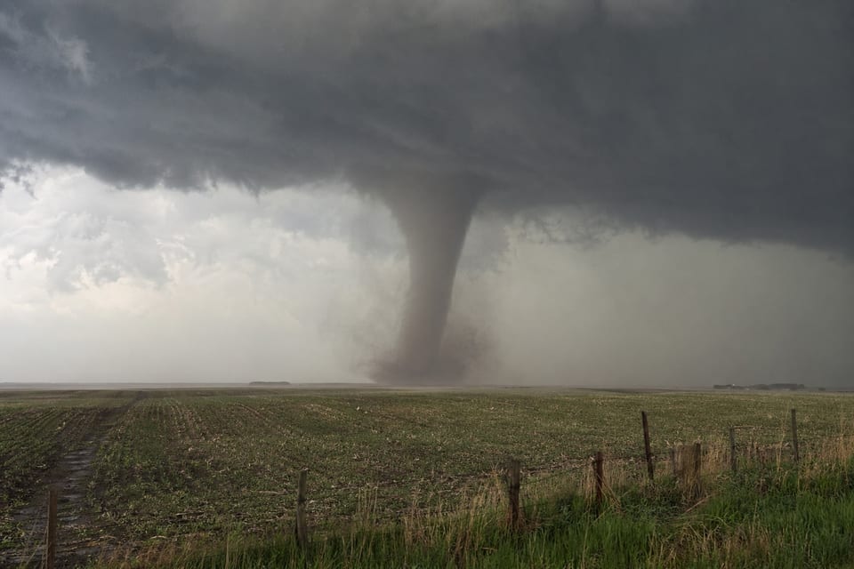
The most dangerous type of cloud is the cumulonimbus. It can create dangerous storms like tornadoes. It can also cause flash flooding, severe winds, and hail.
Supercells are one of the most severe types of thunderstorms that cumulonimbus clouds create.
Related articles

Cumulonimbus Clouds | Lenticular Clouds | Virga Clouds | Cirrocumulus Clouds | Altostratus Clouds
